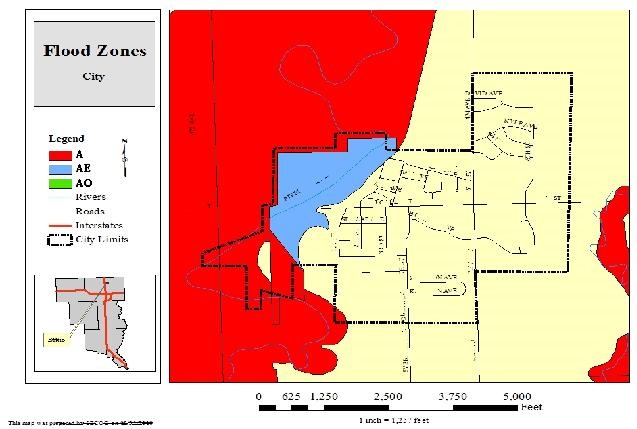
NFIP FLOOD ZONE EXPLANATIONS
(January 2019)
The National Flood Insurance Program (NFIP) uses a zoning system for assigning an area’s vulnerability to flood losses. Here is an explanation of the flood zone designations used by the NFIP and FEMA:
|
|
|
NFIP FLOOD
ZONES |
|
|
Zone |
High Risk Areas |
|
A |
Subject to 100-year flood. Base flood elevation
undetermined. |
|
AE or A1-A30 |
Both AE and A1-A30 represent areas
subject to 100-year flood with base flood elevation determined. |
|
AH |
Subject to 100-year shallow flooding (usually areas of
ponding) with average depth of 1-3 feet. Base flood elevation determined. |
|
AO |
Subject to 100-year shallow flooding (usually sheet flow
on sloping terrain) with average depth of 1-3 feet. Base flood elevation
undetermined. |
|
A99 |
Subject to 100-year flood, with federal flood protection
system (levee/dam) under construction. Base flood elevation undetermined. |
|
AR |
Previously accredited flood protection system has been
decertified and is in the process of being restored to provide a 100-year or
greater level of flood protection. |
|
V |
Subject to 100-year flood and additional velocity hazard
(wave action). Base flood elevation undetermined. |
|
Zone |
High Risk – Coastal Areas |
|
VE or V1-V30 |
Both VE and V1-V30 represent areas subject to 100-year
flood and additional velocity hazard (wave action). Base flood elevation
determined. |
|
In SFHA |
Areas in a "Special Flood Hazard Area" (or
100-year flood plain). Subject to 1% annual chance flooding. No distinctions
have been made between the different flood hazard zones that may be included
within the SFHA. |
|
Flood Prone Area |
This area has been delineated based on available
information on past floods. This is an area inundated by 1% annual chance
flooding for which no base flood elevations have been determined. |
|
Zone |
Moderate to Low Risk Areas |
|
B or X (shaded) |
Both B and X500 represent areas between the limits of the
100-year and 500-year flood. It also applies to certain areas subject to
100-year flood with average depths less than 1 foot or where the contributing
drainage area is less than 1 square mile; or areas protected by levees from
the 100-year flood. |
|
C or X (unshaded) |
Both C and X represent areas outside the 500-year flood
plain with less than 0.2% annual probability of flooding |
|
Zone |
Undetermined Risk Area |
|
D |
Unstudied areas. Flood hazards are undetermined. |